Ground surveys in Vantaa
A soil investigation is an analysis of the properties of the soil in the construction area. The investigation results will be used to draw up a foundation plan or a statement on the type of foundation.
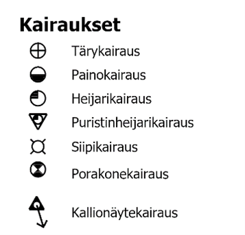
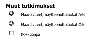
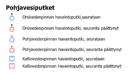
Depending on the soil and future structures, the soil investigation usually includes drilling, sampling, test pits and groundwater level observation. The most common types of tests include weight sounding, cone and ram penetration tests, vane shear tests, wing drilling and motorised dynamic sounding.
The number of soil investigations required depends on how demanding and large the site is. Even at the construction sites of detached houses, tests should be carried out at least at the corners of the future building. Before conducting the investigation, we recommend that you ask the City of Vantaa’s customer service about existing soil investigation data.
The City of Vantaa only conducts new investigations for its own construction sites. The City’s Geotechnical Services unit is not involved in the planning of private projects or their soil investigations.
The material can be viewed on the city of Vantaa map service:
Coordinate systems:
- Maintained in ETRS-GK25 (EPSG:3879)
API address:
- WMS: https://gis.vantaa.fi/geoserver/wms?request=GetCapabilities
- API description (in Finnish): https://gis.vantaa.fi/rajapinnat/
Layers:
- gis:geo_pohjatutkimukset
Resources
- WMS
Additional Info
| Collection | Open Data |
|---|---|
| Maintainer | Vantaan kaupunkiympäristön toimiala |
| Maintainer email | |
| Maintainer website | https://gis.vantaa.fi/rajapinnat/ |
| Links to additional information |
|
| Geographical coverage | |
| Last modified |
28.02.2024 Show change log |
| Created on | 21.02.2024 |